


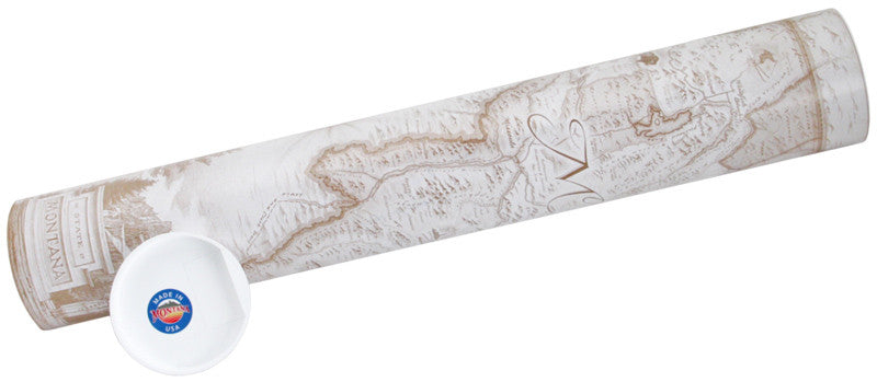
Hand-Drawn Map of Montana
Hand-Drawn Map of Montana
Regular price
$ 30.00
Regular price
$ 30.00
Sale price
Unit price
per
Couldn't load pickup availability

Hand-Drawn Map of Montana
Regular price
$ 30.00
Regular price
$ 30.00
Sale price
Unit price
per
Experience The Last Best Place in beautiful Old-World style. This beautifully, hand drawn map of Montana is an artistic rendition of The Treasure State delights and engages through visual storytelling - highlighting the unique landscapes, flora, fauna, geology and people of Montana.
Dimensions: 24" Wide X 18" Tall
IS THIS A GIFT? Want a gift card placed? Here is what to do: Simply place your message in the box at check out that says "Notes to Distinctly"


You May Also Love.
-
The Treasure State Montana Made Gift Basket
Regular price $ 39.00Regular price $ 39.00 Sale priceUnit price per -
 Sold out
Hand-Drawn Map of Montana
Regular price $ 30.00Regular price $ 30.00 Sale priceUnit price perSold out -
Montana Organic Huckleberry & Flathead Cherry Jam
Regular price $ 35.95Regular price $ 35.95 Sale priceUnit price per


