Hand-Drawn Map of Montana
$ 35.00
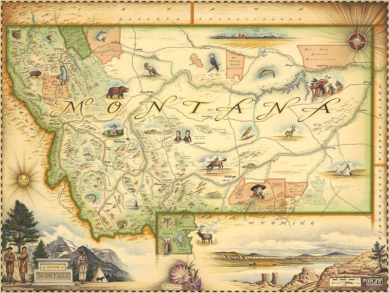
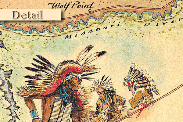
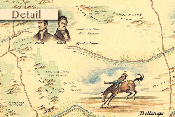
Experience The Last Best Place in beautiful Old-World style. This beautifully, hand drawn map of Montana is an artistic rendition of The Treasure State delights and engages through visual storytelling - highlighting the unique landscapes, flora, fauna, geology and people of Montana.
FREE SHIPPING in the Continental U.S.
ships in 2 to 3 Business Days
Dimensions 24" Wide X 18" Tall
IS THIS A GIFT? Want a gift card placed? Here is what to do: Simply place your message in the box at check out that says "Notes to Distinctly"
If you have more than one address for multiple items - you can add each in this place or you can send us an email at: hereforyou@distinctlymontana.com
About
Nestled in the rugged Rocky Mountains, though also boasting vast prairie lands, Montana is quite worthy of its Spanish derived name. Among a myriad of other natural treasures, the Big Sky country boasts two of the nation’s most popular national parks in Glacier and Yellowstone. Home to Xplorer Maps, it was our first to be released, highlighting the artist’s ability to truly capture the spirit and imagination of the landscapes, culture, history and wildlife of the “Last Best Place” on earth.
Artist Chris Robitaille creates this unique, custom illustrated map- crafted entirely by hand; every line, letter and icon is unique and original to each map he creates. Rendered to pay homage to the early cartographers in his signature vintage “old-world” style, these maps are timeless in appeal and provide a truly “one-of-a-kind” gift for home, office or cabin decor.
Details
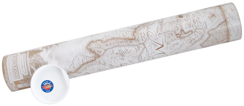
The Montana State Map comes packaged in an attractive, unique and sturdy “illustrated tube” that makes traveling with and shipping these art prints convenient and safe.
Printed on heavy-duty 80 lb. cover stock using only soy-based inks and 50% post-consumer product.
Dimensions: 24″ wide X 18″ tall
Reviews
Share:


